| Directory > Regional > North America > United States > California > Metro Areas > San Francisco Bay Area > Maps and Views Weather Forecast Map
User finds the latest forecasts, warnings, and observations from the National Weather Service by
clicking on the location of interest.
http://www.wrh.noaa.gov/Monterey/
Reviews Rating: Not yet Rated
Whois Check
Points of Interest Map
Shows major highways, communities, and points of interest in the San Francisco Bay Area. Provided
by California Division of Tourism in pdf format.
http://gocalif.ca.gov/tourism/pdfs/SanFrancisco_Map.pdf
Reviews Rating: Not yet Rated
Whois Check
Historic Topographic Maps of California
Topographic quadrangle maps for the San Francisco Bay Area dating from 1895 to the present.
http://sunsite.berkeley.edu/histopo/#
Reviews Rating: Not yet Rated
Whois Check
Bayinsider Webcams
Live shots of various points around the Bay Area, focusing on traffic conditions.
http://www.bayinsider.com/autos/traffic/livecams/
Reviews Rating: Not yet Rated
Whois Check
Wind Patterns
Map of Bay Area with real-time wind patterns overlaid. For browsers with Java, streakline
animations of the wind patterns are available.
http://sfports.wr.usgs.gov/wind/
Reviews Rating: Not yet Rated
Whois Check
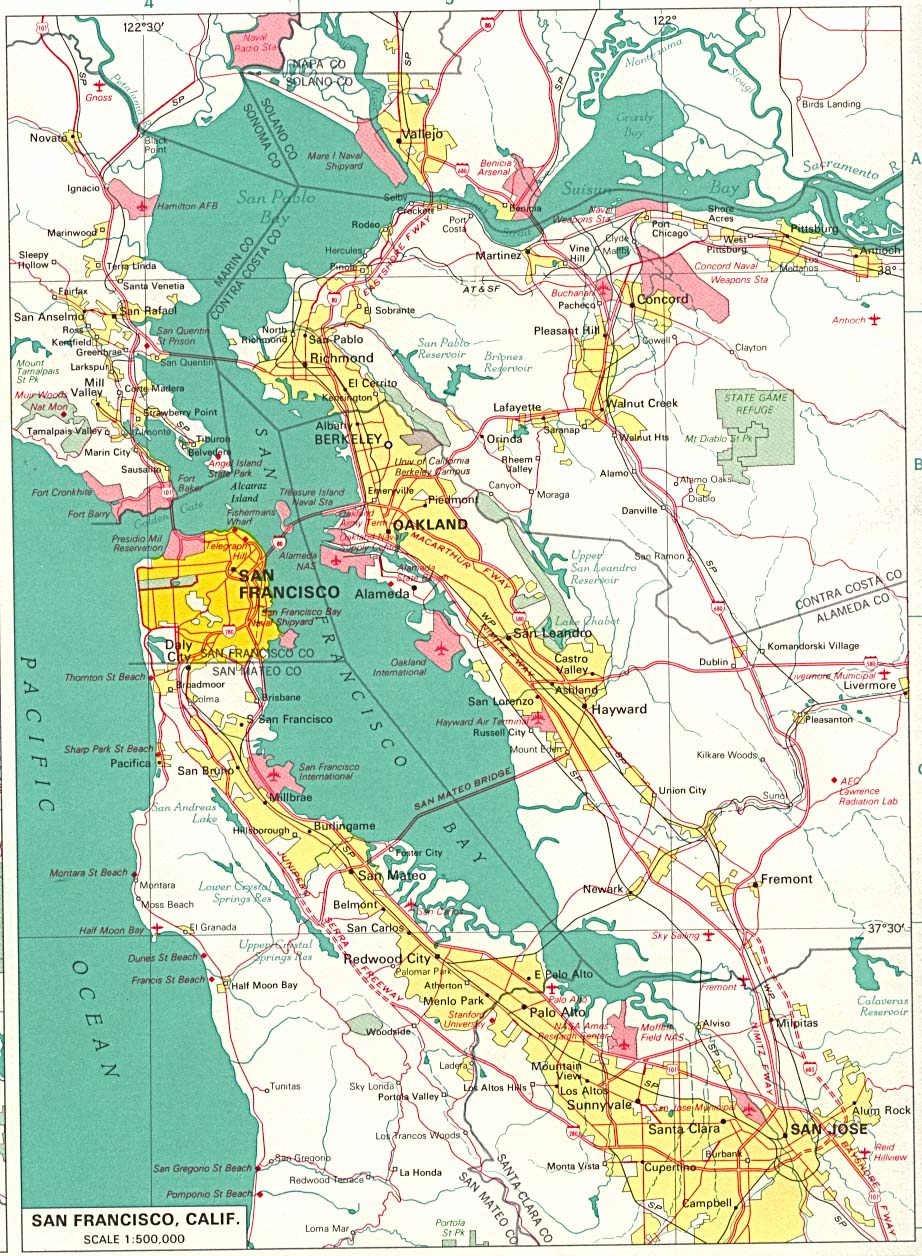
San Francisco Bay Area
From the 1970 edition of the U.S. National Atlas. (333K)
http://www.lib.utexas.edu/maps/world_cities/san_francisco.jpg
Reviews Rating: Not yet Rated
Whois Check
Road Maps
A basic highway map of the Bay Area, along with more detailed road maps of Berkeley, Oakland, San
Francisco, and SFO airport. Plus satellite photo of the Bay Area.
http://www.aaccessmaps.com/show/map/bayarea
Reviews Rating: Not yet Rated
Whois Check
Recent Earthquakes in the Bay Area
Map and detailed information about recent seismic activity from the U. S. Geological Survey.
http://quake.usgs.gov/recenteqs/Maps/San_Francisco.htm
Reviews Rating: Not yet Rated
Whois Check
Pictorial San Francisco Bay Area Map
Illustrated map showing visitor attractions, cities, and major roads. Clicking on names and
illustrations links to their Web sites.
http://www.carolmendelmaps.com/mapsf/
Reviews Rating: Not yet Rated
Whois Check
Highway System Area Maps
Showing current road conditions for highways in the Bay Area.
http://www.dot.ca.gov/hq/roadinfo/do4map.htm
Reviews Rating: Not yet Rated
Whois Check
Earthquake Probabilities
Bay Area map showing estimates of earthquake probabilites between 2000 and 2030, based on a 1999
study.
http://quake.usgs.gov/research/seismology/wg99/index.html
Reviews Rating: Not yet Rated
Whois Check
Counties of the Bay Area
Simple map showing the counties of Sonoma, Napa, Marin, Solano, Contra Costa, Alameda, Santa Clara,
San Mateo and San Francisco.
http://www.abag.ca.gov/abag/overview/datacenter/maps/region2.gif
Reviews Rating: Not yet Rated
Whois Check
Earthquake Maps and Information
A series of maps of the San Francisco Bay Area showing many aspects of earthquake effects.
http://www.abag.ca.gov/bayarea/eqmaps/
Reviews Rating: Not yet Rated
Whois Check
Bay Area Regional Database (BARD)
A Bay Area digital map library from the USGS. Some types of maps require special viewing software,
but others do not.
http://bard.wr.usgs.gov/
Reviews Rating: Not yet Rated
Whois Check
Atlas of San Francisco Bay Area
Includes maps showing population, citizenship, income, poverty, and education.
http://130.166.124.2/SF_1.html
Reviews Rating: Not yet Rated
Whois Check
|


